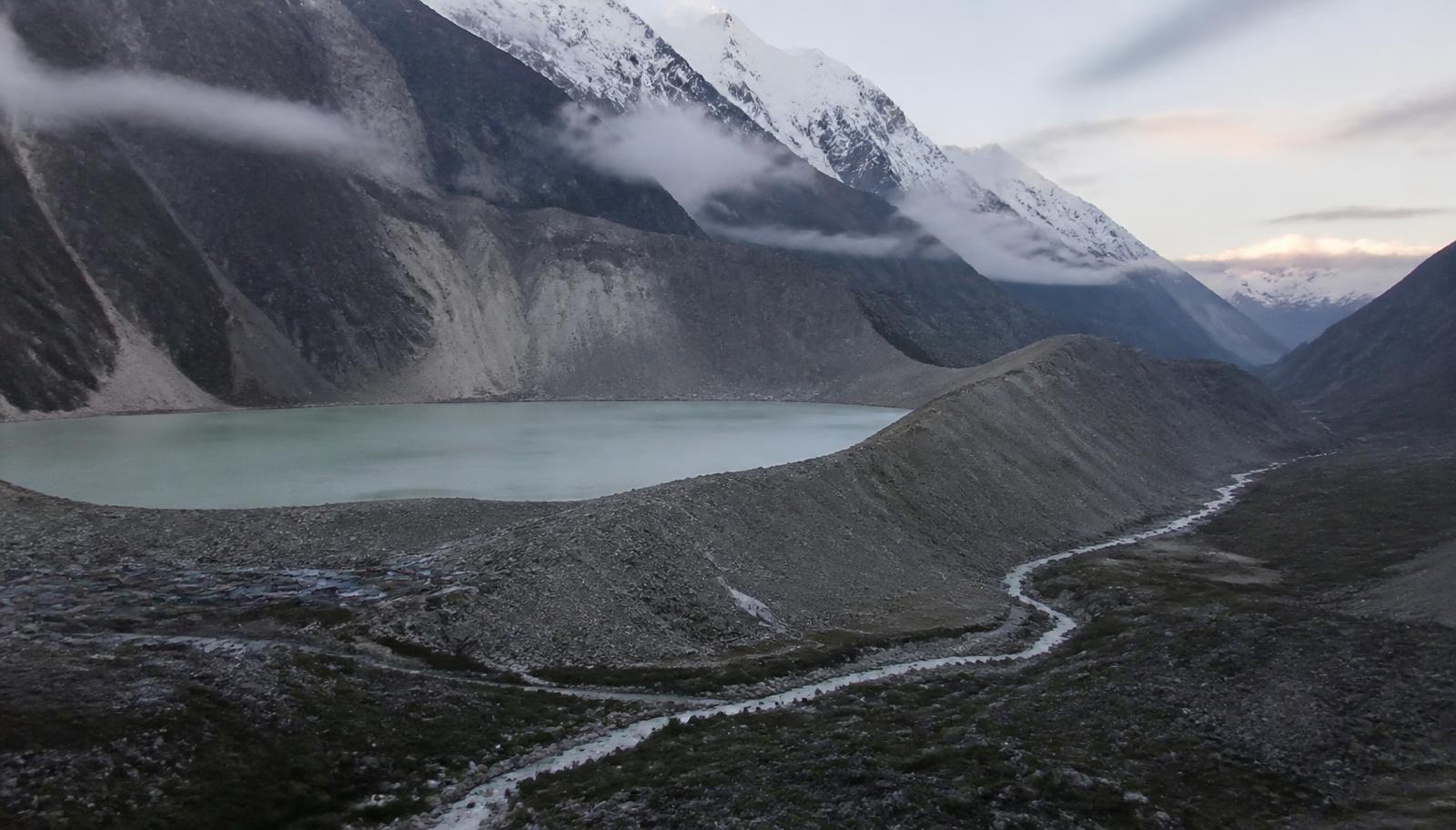
The buildup: years of warnings above the valley that flooded
Before a mountainside and the glacier it held collapsed on the Nepal–Tibet border, scientists had spent years mapping exactly this risk. A reconstruction of the warnings.
A hazard that was written down before it happened
The flood that tore through settlements on both sides of the Nepal–Tibet border last Wednesday did not arrive out of nowhere. For more than a decade, hydrologists working in the high Himalaya have catalogued swelling glacial lakes, thinning ice and destabilised rock along the frontier — the exact ingredients of a glacial lake outburst flood.
The mechanism is brutally simple. Retreating glaciers leave meltwater pooled behind loose walls of rock and debris. When a slope above that pool fails, the displaced water leaves in minutes, and it does not travel as water alone: it carries boulders, ice and forest downstream as a moving wall.
The three signals
- Growing lakes. Satellite surveys across the region have repeatedly flagged high-altitude lakes expanding year on year, several of them dammed only by unconsolidated moraine.
- Unstable rock. Warming permafrost loosens the cement that holds steep faces together. Collapses that once took centuries now happen inside a single warm season.
- Development in the flood path. Roads, hydropower works, worker camps and market towns have all crept into narrow valley floors — the only flat ground available, and the exact channel a flood uses.
Why warnings rarely become evacuations
Nepal's disaster agency has issued monsoon alerts for years, and district officials know the vulnerable corridors. What is missing is the last mile: sirens in the villages that would be hit, sensors upstream that report in real time, and a rehearsed instruction for what a household should do in the twenty minutes it may have.
A hazard map is not a warning. A warning is not an evacuation. Each of those gaps has to be closed separately — and last week the gap was measured in lives.
AI narration costs 1 coin and goes straight to the writer. One-time — replay any time.
Reader comments
Related stories
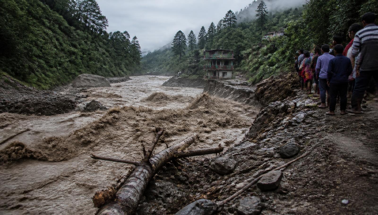
The early hours: twenty minutes of warning, then the river changed colour
Survivors describe a roar before the water, phones with no signal, and the short window between the collapse upstream and the flood reaching the first villages.
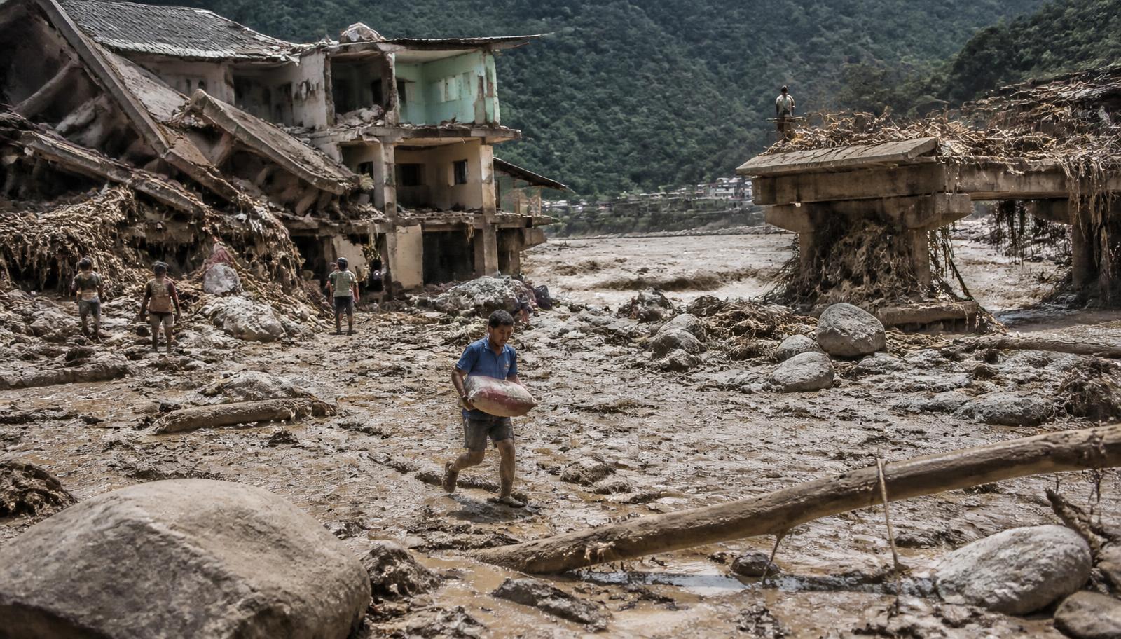
The incident: what collapsed on the border, and what it destroyed
A rocky mountainside and the glacier it supported gave way near the Nepal–Tibet frontier. This is what the resulting flood did to the valleys below.
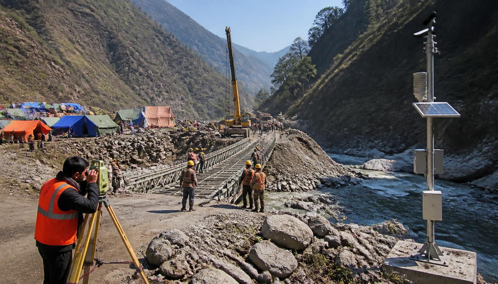
The fixes: five things that would make the next Himalayan flood survivable
Sirens that reach households, sensors upstream, lakes drawn down, valley floors kept clear, and money that arrives before the next monsoon — not after it.